Open satellite data is no longer just for researchers. With today’s free tools, you can check how well your trees are growing, see how last week’s storm left low spots soggy, and spot which blocks in your neighborhood heat up most in summer. You don’t need to code, buy a drone, or learn remote sensing jargon. You only need a browser, a few reliable sites, and a plan.
This guide shows how to use free, public satellite imagery to make practical decisions at home and on your street. We’ll focus on safe, simple workflows that work in minutes. You’ll learn what each satellite is good for, how to avoid common pitfalls like clouds and seasonal bias, and how to turn pixels into useful, locally verified insights.
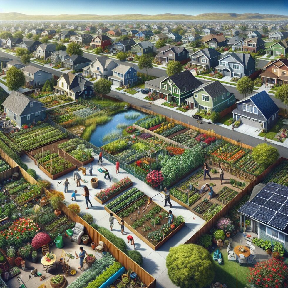
What You Can Do From Your Block
Before you pick a tool or dataset, it helps to know the kinds of questions satellites can answer well at a yard or neighborhood scale. The key is matching the resolution and revisit to your use.
Grow Healthier Gardens and Trees
Plants reflect near‑infrared light differently when they are lush and healthy. An index called NDVI (Normalized Difference Vegetation Index) highlights this. NDVI is a simple ratio that increases with greener, denser vegetation. It can help you:
- Compare your lawn or beds week to week after a change in watering or fertilizing.
- Spot trees that are under stress earlier than your eyes might notice.
- Track how shade or coverage expands across seasons.
Sentinel‑2 (10 m resolution) is ideal for this. You won’t see individual houseplants, but you can track larger beds, canopy patches, and lawns that are a few meters wide or bigger. If your property is small, use it as a relative measure—compare your yard to the nearest park area to calibrate your expectations.
Watch Water and Drainage
After storms, standing water and overly wet soil can linger in low areas. You can use water-sensitive indexes, like NDWI (Normalized Difference Water Index), to find wetter patches over time. This helps you:
- Identify low spots that might need grading or rain garden treatment.
- See how long puddles persist after big rains.
- Check pond levels or water clarity trends over the season.
For flooding during cloudy weather, radar data from Sentinel‑1 is valuable because it sees through clouds and works at night. It can show widespread inundation on a block or along a creek, even when storms keep optical satellites blind.
Cool Your Street
On hot days, paved areas absorb and radiate heat. You can study neighborhood hot spots using thermal data from Landsat 8/9. It’s coarser resolution (about 100 m for thermal), so think in terms of blocks rather than specific roofs. Use it to:
- Compare midday heat load between tree-lined and bare streets.
- Target tree planting on heat-prone corners.
- Advocate for shade structures near play areas or bus stops.
Combine thermal snapshots with NDVI to see where vegetation already helps and where it’s missing.
Track Fire and Smoke at a Regional Scale
If you live in a wildfire-prone region, you can follow active fire detections with VIIRS and MODIS (coarse resolution, but frequent). This won’t tell you what’s happening in your yard, but it’s a good heads-up for planning indoor air days or rescheduling outdoor work.
Pick the Right Satellite for the Job
There are many satellites, but you only need a few for most home and neighborhood uses. Here’s a quick guide.
Sentinel‑2: Your Go-To for Green Stuff
Best for: Plants, general land cover, seasonal change.
Why: 10 m resolution is fine for yards, parks, and fields. It revisits roughly every five days with the two-satellite constellation. It has dedicated bands for red and near‑infrared, so NDVI is easy and consistent.
Landsat 8/9: Add Thermal Context
Best for: Heat mapping, longer time series (decades), coarser trends.
Why: Landsat offers thermal bands that show surface temperature patterns. Resolution is coarser than Sentinel‑2, but it’s excellent for neighborhood-scale heat studies and historical comparisons.
Sentinel‑1: When Clouds Don’t Cooperate
Best for: Flood detection, broad soil moisture patterns, change detection during cloudy seasons.
Why: Radar penetrates clouds and works at night. It’s not a photo—interpretation differs—but it’s the best way to see water during storms.
VIIRS/MODIS: The Big Picture
Best for: Regional smoke, fire hotspots, nighttime lights trends.
Why: These sensors revisit very frequently but are low resolution. Use them as context for planning your day, not for yard decisions.
Tools That Don’t Need Code
You can do a lot from your browser. These sites are stable, free, and widely used by educators and citizens.
Copernicus Browser: Fast NDVI and Comparisons
Use the Copernicus Browser for a simple, clear view into Sentinel data. You can search, filter for low cloud cover, and run basic indexes.
- Open the map and search your address or drop a pin on your block.
- Select Sentinel‑2 L2A (surface reflectance) for best results.
- Use the cloud filter. Start with less than 20% cloud cover to learn.
- Switch the visualization to NDVI. Note how lawns, trees, and fields light up compared to roofs and pavement.
- Use the time slider to compare month over month. Save a few “pins” to revisit later.
Tip: If your yard is smaller than a single pixel (10 m), do not over-interpret single frames. Look for consistent trends over several dates, and compare to nearby larger green areas for a sanity check.
EO Browser (Sentinel Hub): Power Without Pain
EO Browser adds more visualizations, easy band math, and slick timelapse tools. It’s perfect for quickly testing NDWI or mixing your own band combinations.
- Search your area, then open the “Custom Script” or “Index” visualizations.
- Try NDWI to see wetter areas after a rain event.
- Use “Compare” mode to set up a side-by-side before/after panel.
- Export a short timelapse GIF to document seasonal changes for your HOA or block group.
Got clouds? Use the cloud mask checkbox. It isn’t perfect, but it removes many bad pixels so your comparisons are cleaner.
NASA Worldview: Regional Context Fast
Worldview is great for real-time overlays. Add fire detections, smoke, or precipitation layers to understand what your region looks like today. Use this before you dive into your yard-level analysis to check whether you’re about to fight cloud cover.
Make One Clean NDVI Workflow
Let’s build a simple, repeatable routine. This workflow takes about 10 minutes per check-in.
- Pick your reference areas. Choose two spots: your yard and a nearby park or field. The second helps you compare and normalize across dates.
- Open Sentinel‑2 in Copernicus Browser. Filter for cloud cover under 20% and pick a date close to noon to minimize shadows.
- Switch to NDVI view. Note the color scale. If possible, keep the same scale between dates for fair comparisons.
- Drop pins and capture values. Click your yard, the park, and a paved area to log typical NDVI values. Write them down or screenshot with the legend included.
- Repeat monthly. Keep a simple sheet of dates and values. Mark when you changed watering, mulched, pruned, or fertilized.
- Look for trends, not single spikes. Weather shocks, mowing, and clouds can cause outliers. Three good dates in a row matter more than one.
This routine makes your observations quantitative without complexity. It’s enough to answer “Is our yard responding to the new watering schedule?” and “Is the back maple keeping up with the others?”
Quick Wins for Water and Flooding
Drainage is tricky because it’s local. Here’s a simple way to use both optical and radar data to spot patterns you can act on.
After Heavy Rain: NDWI and Visual Checks
- Within a few days of a big storm, open EO Browser and switch to NDWI using Sentinel‑2.
- Compare the wettest pixel clusters to where you actually see water on the ground.
- Repeat after a second storm and see if the pattern holds. Consistency matters.
If the same corner of the yard stays wet twice, it’s a good candidate for a small swale, rain garden, or improved grading. Share your before/after NDWI snapshots with your landscaper so they understand the goal.
During Cloudy Seasons: Use Sentinel‑1 Radar
- Open Copernicus Browser and select Sentinel‑1. Use a default VV polarization first.
- Look for darker patches after storms. Water tends to dampen the radar signal, though urban surfaces can be complex.
- Compare two dates: one clearly dry, one just after rain. Focus on big differences that align with known low spots.
Radar takes getting used to. Start broad—creeks, floodplains, parks—before dialing in on your block.
Mapping Heat for Cooler Streets
To guide tree planting or shade structures, map heat at a block scale.
Landsat Thermal Layers
- In EO Browser, pick Landsat 8/9 and a summer, mid‑day date with minimal cloud cover.
- Choose a thermal band or “Land Surface Temperature” visualization if available.
- Note which streets and parking areas glow hottest. Cross‑check with NDVI to see if shade is missing.
Use this as a starting point for your neighborhood association or school council: “These two corners are consistently hot. Let’s plant three trees here and add a shade sail near the playground.” Revisit next summer to measure progress.
Going One Level Deeper (Optional)
If you want more control and don’t mind a notebook, try the Microsoft Planetary Computer or Google Earth Engine. Both host huge catalogs and provide code examples.
Planetary Computer Starter Plan
- Sign in and open a sample notebook for Sentinel‑2 NDVI.
- Use STAC search to pull scenes over your coordinates and date range.
- Apply a cloud mask and compute NDVI for each date.
- Export a simple CSV of mean NDVI for your yard polygon vs. a nearby reference zone.
You’ll gain repeatability, filters, and batch exports. Keep your polygons generous to avoid pixel-edge artifacts.
A Four-Week Mini‑Project You Can Finish
Here’s a simple project plan to prove the value at home and share with neighbors.
Week 1: Baseline
- Select a yard area, a nearby park, and a paved block as references.
- Capture NDVI in Copernicus Browser for the latest clear day.
- Walk the yard to note visibly stressed spots, puddles, and shade patterns.
Week 2: Water Check
- After a rain event, compute NDWI for the yard and park.
- Mark any consistent wet areas on a printed map or simple drawing.
- Take photos on the ground for each wet spot. Label them with time and location.
Week 3: Heat Recon
- Find a clear summer date in Landsat. Map hot blocks near home, school, or transit stops.
- Cross‑check with NDVI to spot where shade is thin.
- Draft a short note for your HOA or local group with two candidate sites for shade fixes.
Week 4: Decision and Action
- Decide on one small yard improvement (e.g., adjust watering, add mulch, plan a rain garden pilot).
- Decide on one community ask (e.g., plant two trees on the hottest corner).
- Save your maps and values as a simple PDF. Revisit in two months to track change.
Know the Limits So You Don’t Over‑Promise
Satellite data is powerful, but it’s not magic. Manage expectations up front.
Resolution Reality
- Sentinel‑2 at 10 m means one pixel covers about the size of a small room times several. Don’t infer detail on individual shrubs.
- Landsat thermal at ~100 m is about a city block. Use it for planning, not for measuring one roof’s temperature.
Clouds, Shadows, and Seasons
- Clouds and haze trick both your eyes and indexes. Use cloud masks and compare multiple dates.
- Shadows from tall buildings and trees can drop NDVI despite healthy leaves underneath. Midday images help reduce this.
- Always compare the same season year over year to avoid mixing spring green‑up with late summer stress.
Ground Truth Matters
- Walk the site. If a “wet” pixel is on your deck, it’s probably shadow or sensor noise.
- Take photos and short notes each time you sample. It helps explain surprises later.
- Celebrate trends; ignore single outlier days unless you can explain them.
Share Clearly and Respectfully
When you share maps with neighbors, city staff, or school leaders, be transparent about what the data shows and what it doesn’t.
- Stick to relative claims. “This corner appears hotter than that one across five summer days.”
- Avoid personal data. Do not annotate individual households with judgments. Speak in terms of blocks or public spaces.
- Show your method. Include the data source, date, and index used. A small legend builds trust.
Open satellite data is public. Still, treating neighbors with care builds collaboration. Focus on shared goals: greener yards, less standing water, cooler walks.
Extra Tips That Save Hours
- Use pins and collections. Both Copernicus Browser and EO Browser let you save favorite spots and dates. Build a personal “Backyard EO” album.
- Composite wisely. If single dates are too cloudy, use monthly composites or medians when tools offer them. They reduce noise at the cost of “freshness.”
- Keep a simple log. A one-page spreadsheet with date, source, cloud %, index, and a few notes will make your work portable and defensible.
- Mind the color ramps. Changing color scales can fake “improvements.” Keep the same ramp across comparisons when you can.
- Use multiple sensors. Confirm a heat hot spot (Landsat) aligns with low NDVI (Sentinel‑2). Cross-sensor agreement boosts confidence.
From Curiosity to Community Action
Satellites help you measure, but they also help you convince. A single page with two maps and three numbers can turn a chat into a plan. Here are a few example outcomes neighbors have achieved with simple, public imagery:
- Secured permission to plant five trees along a south‑facing, high‑heat bus stop corridor.
- Justified a small grant for rain garden materials by showing repeat wet patches after multi‑inch storms.
- Coordinated mowing and watering practices in a community garden using NDVI trends to time effort.
The key is modest, repeatable measurement. You’re not trying to be a scientist. You’re trying to make better choices, backed by visible, time‑stamped evidence anyone can open on the web.
What Not to Use This For
Even with good intentions, it’s easy to drift into areas where satellites aren’t the right tool.
- Individual health or property claims. Do not draw conclusions about a single home’s energy use or a neighbor’s gardening “performance.”
- Emergency response timing. For floods and fires, official channels move faster and use more than satellites. Use imagery to plan recovery, not to substitute for alerts.
- Precision irrigation on tiny plots. For small beds, on‑site sensors beat satellites. Use satellites for seasonal planning and broader allocation.
Frequently Asked Quick Questions
Do I need to pay for higher resolution?
No for most yard‑scale trends. Free 10 m imagery is enough to guide watering, tree planting, and block‑level heat work. If you’re managing a large property or want sub‑meter detail, commercial imagery can help, but start free first.
How often should I check?
Monthly snapshots for plants are fine. For drainage, check after significant rain events. For heat, focus on the hottest months and pick two or three clear mid‑day dates for fair comparisons.
Can I use my phone only?
Yes. All the tools listed run in a phone browser, though a laptop is easier for side‑by‑side comparisons and exporting images.
Try This Today: A 10‑Minute Starter
- Open Copernicus Browser and search your block.
- Pick Sentinel‑2 L2A, cloud cover under 20%.
- Switch to NDVI and screenshot your yard and the nearest park with the legend visible.
- Write two bullet notes: “What looks greener than I expected?” “What looks less green?”
- Set a calendar reminder for the same day next month to repeat.
You’ve just started your Backyard EO log. Small, steady checks beat one giant session you never repeat.
Summary:
- Use Sentinel‑2 for plants (NDVI), Landsat for heat, and Sentinel‑1 radar for cloudy flood checks.
- Start with free, no‑code tools: Copernicus Browser, EO Browser, and NASA Worldview.
- Measure trends over time, not single frames. Ground truth with quick walks and photos.
- Map hot blocks to guide shade and trees; map wet spots to plan drainage fixes.
- Share simple, transparent maps and notes to turn neighborhood conversations into action.
External References:
- Copernicus Browser (Sentinel data access)
- EO Browser by Sentinel Hub
- NASA Worldview (near real-time layers)
- USGS EarthExplorer (Landsat access)
- Microsoft Planetary Computer (data and notebooks)
- NASA FIRMS (active fire data)
- Copernicus Emergency Management Service
- Google Earth Engine (hosted catalog and analysis)